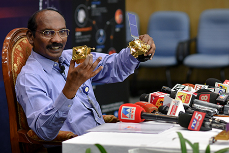
India will launch its advanced cartography satellite, Cartosat-3, towards the end of this year, said K Sivan, Chairman, Indian Space Research Organisation (ISRO).
“The next launch will be cartography satellite Cartosat-3. The launch will be towards the end of October or early November this year,” Sivan announced at a press conference in India.
He said Cartosat-3 will be launched using the Polar Satellite Launch Vehicle (PSLV) rocket.
An earth observation or remote sensing satellite, Cartosat-3 is an advanced version with better spatial and spectral characteristics as compared to the Cartosat-2 series satellites.
Cartosat-3 is among the series of remote sensing satellites that will replace the Indian Remote Sensing Satellites (IRS) series.
The Cartosat-3 will be equipped with an imaging payload with a ground resolution of 0.25 metre and cover 16km in panchromatic mode.
The resolution will be 1.13 m with 16 km swath in four-band multispectral mode. It is also equipped with a mid-wave infrared camera with 5.7 m resolution.


Add Comment