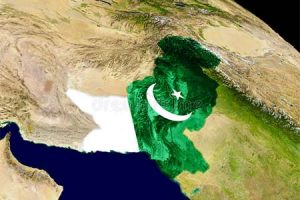
 Pakistan will launch an indigenously developed observatory satellite next month. Called the Remote Sensing Satellite (RSS), it will be used to study various features of the earth, determine mineral deposits and impacts of climate change.
Fitted with sensors and cameras, the 285 kg satellite named PakTES-1A will remain stationary 610 km in space and its position relative to the Sun will not change, the Dawn reported.
Depending on the kinds of sensors and gadgets fitted, the RSS technology can also help study impacts of climate change such as recession of melting glaciers, green-house gasses, detect forest fires and even solve problems related to agriculture as well as forestry, besides a whole range of passive and active tasks.
The navigation technology for the satellite was acquired from China back in 2012.


Add Comment