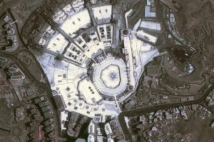
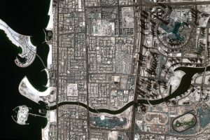
DubaiSat-2 captures high resolution satellite images (1 metre) used for urban planning and mapping, monitoring environmental changes and disaster management
Search Results For - Mohammed Bin Rashid Space Centre
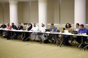
The session was opened by Dr. Bjorn Kjerfve, Chancellor of American University of Sharjah, before being led by the ESIG chairman Khaled Al Hashimi, Director of...
Nayif-1 is an educational project launched by MBRSC in cooperation with AUS with the goal of providing hands-on experience to Emirati engineering students on...
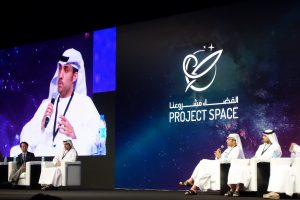
Project Space aims to inspire university and high school students by establishing a professional scientific platform for space science, research and...
The programme included workshops on nano satellite technologies covering a range of topics, including production, testing, costing, control systems...
The parties discussed mechanisms of cooperation in the fields of space science, exploration, and technology. The meeting also included a detailed discussion of...
The policy has been prepared in cooperation with a number of key stakeholders in the government sector, national companies in the private sector, academic...
DubaiSat-2 provides high quality satellite images to several institutions within the UAE and internationally, for urban planning and mapping, monitoring...
During the opening session, the forum rewarded MBRSC with the Inspiration Award, as Salem Al Marri, Assistant Director General for Scientific & Technical...
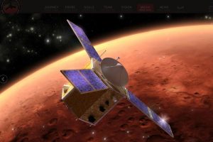
The project will send an unmanned probe to Mars by 2021 marking the UAE’s 50th National Day. The project will place the UAE in the league of nine countries...


